
Summary
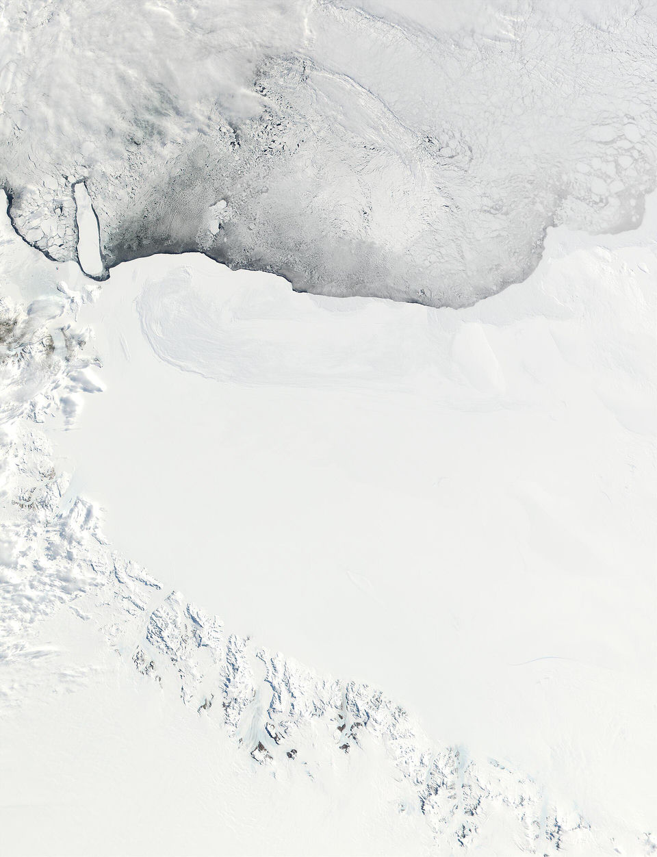
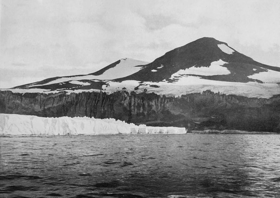
If there is a real "ice wall", it is this one. On 28 January 1841 the British expedition of James Clark Ross came up against a towering cliff of ice in what is now the Ross Sea. Ross named it the Great Ice Barrier and wrote that they might as well try to sail through the cliffs of Dover. Today it is called the Ross Ice Shelf. Its front is a genuine wall of ice, rising 15 to 50 m above the water and running for more than 600 km, which helps explain why the image of an icy rampart has struck so many imaginations.
Set against the whole continent, though, it is a modest feature: one stretch of a coastline about 17,968 km long, not a barrier around the world. The shelf itself is a floating plate of ice of about 500,809 km², the extension of the continent's ice over the sea, as the US National Snow and Ice Data Center explains; it is not a free-standing wall. Explorers have camped on it and crossed it. Roald Amundsen built his Framheim base in the Bay of Whales on the Barrier and left from there to reach the South Pole in 1911, and in 1946–1947 Operation Highjump set up Little America IV on the same ice. Ships have sailed all the way around Antarctica and visitors travel there every year, which would be impossible if its coast were the rim of a disc.
Verified facts
- Verified fact
James Clark Ross discovered the Barrier on 28 January 1841 and called it the "Great Ice Barrier"; he wrote that they might as well try to sail through the cliffs of Dover.
- Ross Ice Shelf, Wikipedia
discovered it on 28 January 1841
- Barrière de Ross, Wikipedia
Le capitaine James Clark Ross qui menait l'expédition la nomme la « Grande barrière de glace » parce qu'elle l'empêche d'aller plus au sud
- Ross Ice Shelf, Wikipedia
- Verified fact
The Ross Ice Shelf front is a real ice cliff, 15 to 50 m above the water and more than 600 km long: a small part of Antarctica's roughly 17,968 km of coastline, not a wall around the world.
- List of countries by length of coastline, Wikipedia
Antarctica (Disputed) 17,968 14,200,000 1.27
- Ross Ice Shelf, Wikipedia
between 15 and 50 m (50 and 160 ft) high above the water surface
- List of countries by length of coastline, Wikipedia
- Verified fact
The Ross Ice Shelf is a floating ice shelf of about 500,809 km², an extension of the continent's ice over the sea, not a free-standing wall.
- Ross Ice Shelf, Wikipedia
an area of roughly 500,809 km2 (193,363 mi2)
- Ice shelves, National Snow and Ice Data Center (NSIDC)
Ice shelves are extensions of thick land ice that flow out over a cold coastal ocean.
- Ross Ice Shelf, Wikipedia
- Verified fact
Explorers camped on the Barrier and crossed it: Amundsen's Framheim base, from which he reached the Pole, stood in the Bay of Whales on the Great Ice Barrier, and Highjump set up Little America IV there.
- Amundsen's South Pole expedition, Wikipedia
in the Bay of Whales on the Great Ice Barrier
- Operation Highjump, Wikipedia
HIGHJUMP's mission was to establish Little America IV on the Ross Ice Shelf
- Amundsen's South Pole expedition, Wikipedia
- Verified fact
Explorers have circumnavigated the Antarctic landmass and people visit it every year, which would be impossible if its coast were the rim of a disc.
- Fact check roundup: Debunking the flawed science behind flat Earth claims, USA TODAY (Eleanor McCrary), via Yahoo News Canada, 9 May 2023
Explorers have circumnavigated the land mass, and people visit it every year.
- Fact check roundup: Debunking the flawed science behind flat Earth claims, USA TODAY (Eleanor McCrary), via Yahoo News Canada, 9 May 2023