ATLAS
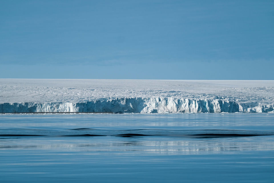
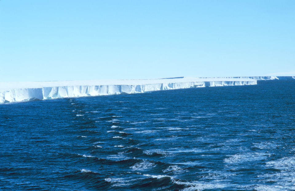
A long, flat-topped white ice cliff runs along the horizon above a dark blue, choppy sea under a clear sky.

OMEGA-11-4Dossier · 8 sheets

Ice wall

Ice wall surrounds the world

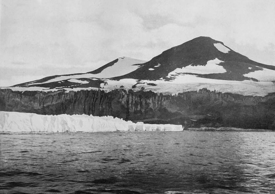
The front of the Ross Ice Shelf seen from the research vessel Nathaniel B. Palmer in the Ross Sea, February 1997 (NOAA). Discovered by James Clark Ross in 1841, this ice cliff is the real "wall" behind the theory: the edge of a floating ice shelf along one part of the Antarctic coast. Michael Van Woert, NOAA NESDIS, ORA · public domain · Wikimedia Commons

Conspiracy allegation: inclusion in the atlas ≠ established fact.

Summary

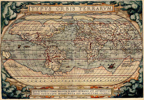
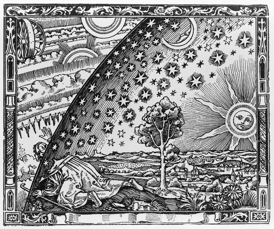
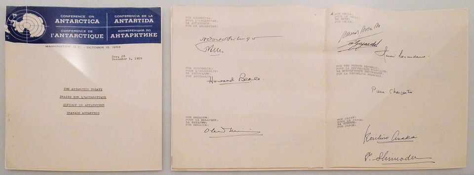
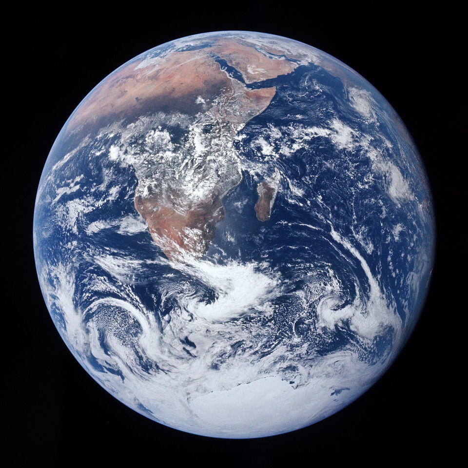
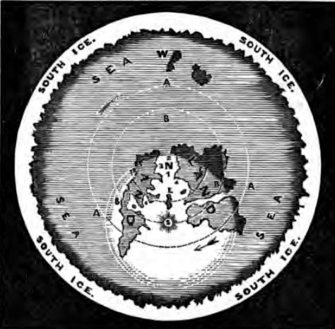
The "ice wall" thesis holds that the Earth is a disc centred on the North Pole and ringed by a wall of ice, which official maps call Antarctica, sometimes capped by a dome or "firmament". It goes back to the English writer Samuel Rowbotham, whose Zetetic Astronomy (pamphlet 1849, book 1865) described a disc bounded by ice; Alexander Gleason's 1892 polar map and the Zion preacher Wilbur Glenn Voliva carried the image into the 20th century. It came back online after 2014 with Eric Dubay's books and videos and Mark Sargent's YouTube series Flat Earth Clues (2015), which drew about two million views. Its supporters cite Operation Highjump (1946–1947), a quote attributed to Admiral Byrd about "that land beyond the Pole" and the 1959 Antarctic Treaty, which they read as a ban on going to look; offshoots place other continents, giants or reptilian beings beyond the wall. What is established: Antarctica is a continent of about 14.2 million km² that has been crossed overland since 1958, overflown by sightseeing flights since 1977 and visited by 122,072 tourists in 2023–24, and the Treaty bans military bases, manoeuvres and weapons tests there but opens every area to inspection. The real "Great Ice Barrier", discovered by James Clark Ross in 1841, is a floating ice shelf whose front rises 15 to 50 m above the sea along some 600 km of coast, not a wall around the world. In December 2024, flat-Earth YouTubers who travelled to Antarctica for "The Final Experiment" saw the midnight sun and admitted it was real.

Cross-cutting subject: also filed under OMEGA-3-20 Antarctica borders the Earth's disc (Space and Astronomy)
The 8 sheets of the dossier

Each sheet is one facet of the subject, with its claims and their sources.

Timeline

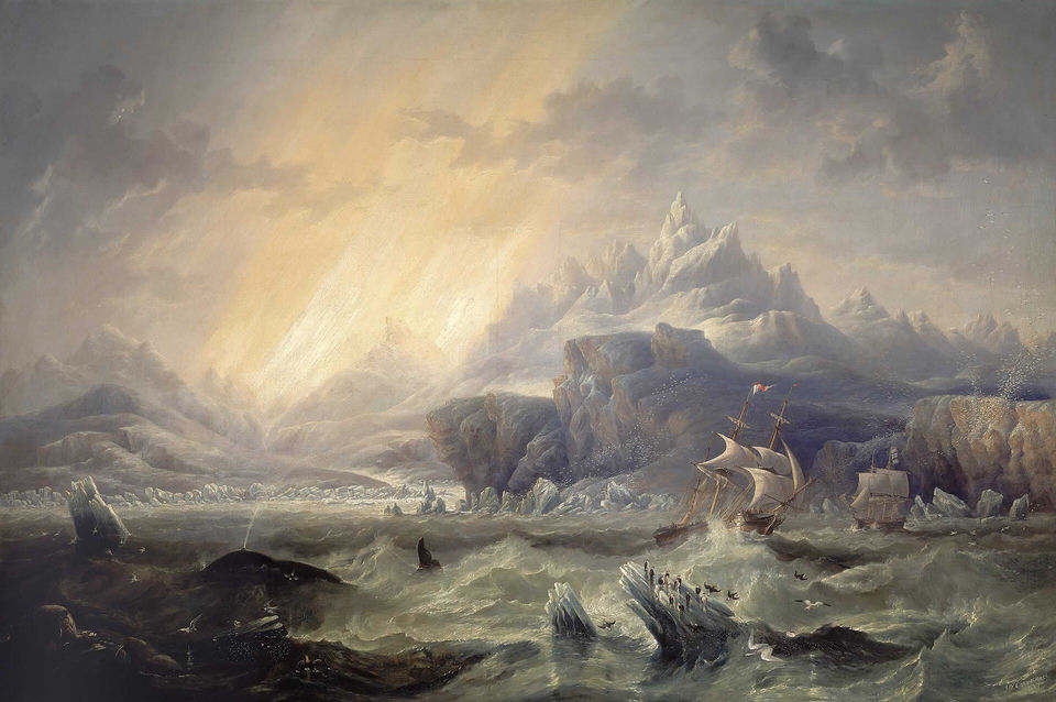
  1. James Clark Ross discovers the Great Ice Barrier
  2. Rowbotham publishes Zetetic Astronomy
  3. Gleason's map
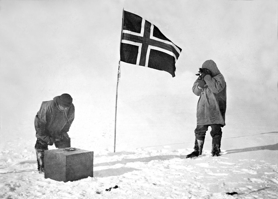
  4. Race to the South Pole
  5. Operation Highjump
  6. Byrd's El Mercurio interview
  7. Antarctic Treaty signed
  8. First sightseeing flights over Antarctica
  9. Flat Earth Clues
  10. "The Final Experiment"

Videos

Videos published by their rights holders. They load only when clicked: nothing is sent to YouTube before.

Play on YouTube (third-party content)
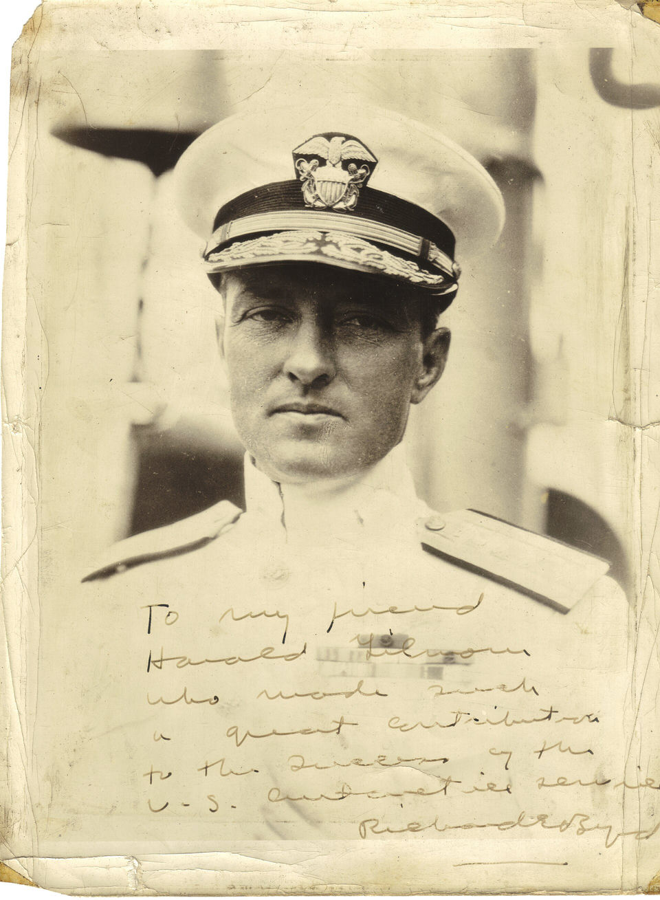
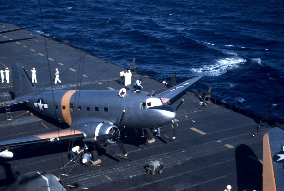
Unissued British Pathé footage of Admiral Byrd's 1946–1947 Antarctic expedition, Operation Highjump: task-force ships, an officer transferred by breeches buoy, an aircraft taking off from USS Philippine Sea and a flag raised over the ice (record dated 1947).
British Pathé
Play on YouTube (third-party content)
United Nations video on the Antarctic Treaty, signed on 1 December 1959 by twelve nations to keep the continent for peaceful purposes and international scientific cooperation.
United Nations
Play on YouTube (third-party content)
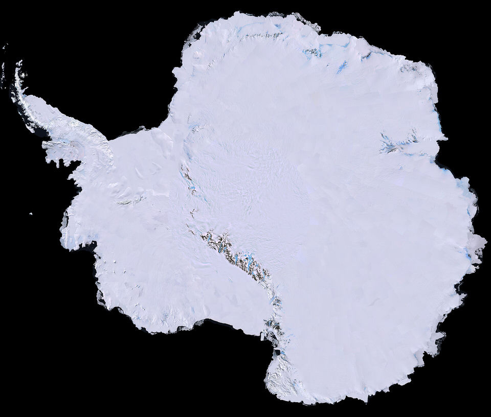
NASA flyover of part of the Landsat Image Mosaic of Antarctica (LIMA), the first high-resolution, true-colour map of the continent, built in 2007 from more than 1,100 Landsat-7 images.
NASA Video
Play on YouTube (third-party content)
A 36-hour time-lapse of the 24-hour Sun filmed at Union Glacier Camp during "The Final Experiment" (December 2024), posted on the expedition's channel, run by its organiser, pastor Will Duffy.
The Final Experiment