Flat Earth map according to Samuel Rowbotham's Zetetic Astronomy, 1881; an illustration of the thesis. Samuel Rowbotham · public domain · Wikimedia Commons
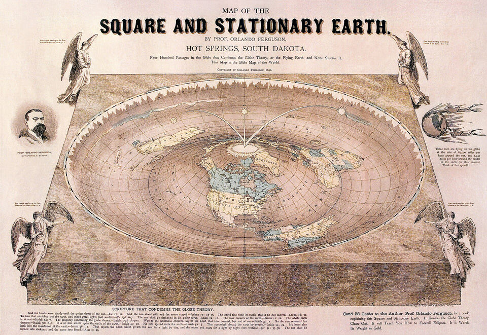
"Map of the Square and Stationary Earth" drawn by Orlando Ferguson in 1893; an illustration of the thesis. Orlando Ferguson · public domain · Wikimedia Commons
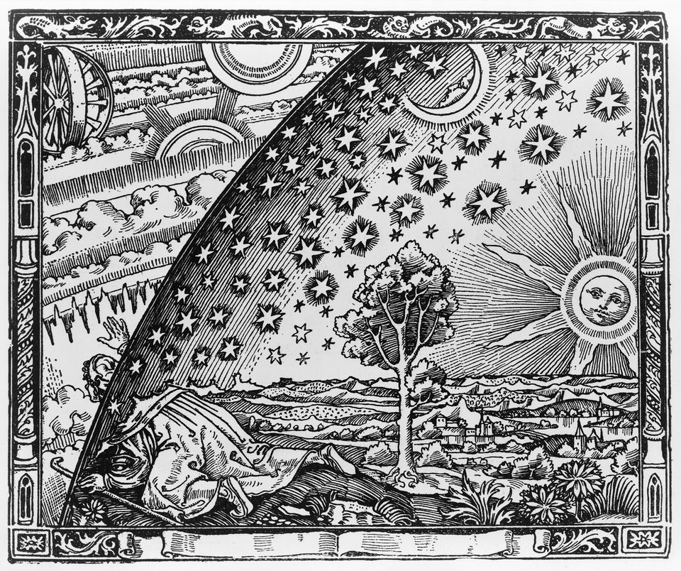
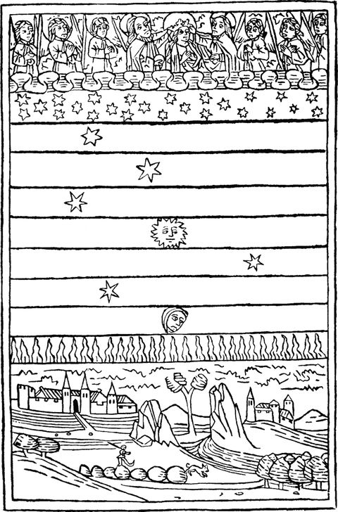
The Flammarion engraving, first published in Camille Flammarion's L'Atmosphère (1888) in a 16th-century style, often mistaken for a medieval image. AnonymousUnknown author · public domain · Wikimedia Commons
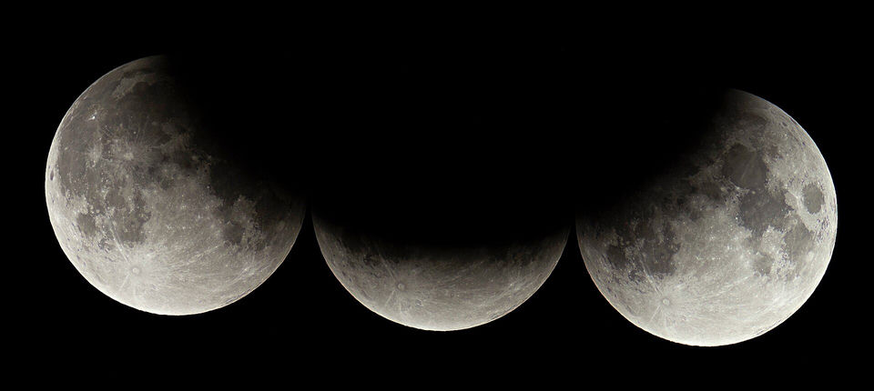
Composite of the partial lunar eclipse of 16 July 2019, showing the curved edge of the Earth's shadow on the Moon. H. Raab (User:Vesta) · CC BY-SA · Wikimedia Commons
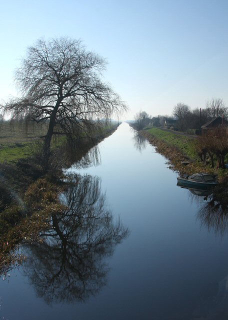
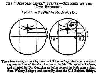
The Old Bedford River at Welney, looking upstream from the road bridge, site of the Bedford Level experiments. Bob Jones · CC BY-SA · Wikimedia Commons
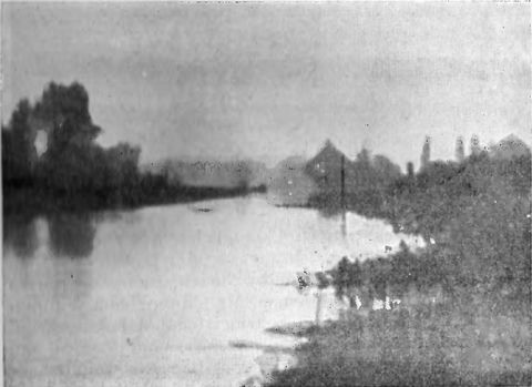
Photograph of the Bedford Level taken by Edgar Clifton on 11 May 1904 for Lady Blount's attempt to prove the Earth flat; refraction explains the result. Edgar Clifton (photographer) · public domain · Wikimedia Commons
The Flammarion engraving: a pilgrim pushes his head through the vault of the sky. First published in Camille Flammarion's L'atmosphère (Paris, 1888); often wrongly taken for a medieval woodcut. AnonymousUnknown author · public domain · Wikimedia Commons
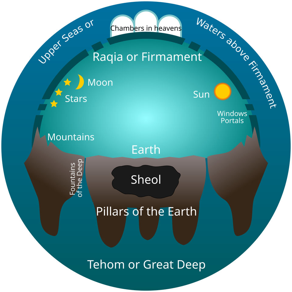
Modern diagram of the early Hebrew picture of the cosmos, with a firmament between the waters above and below. Readers of the dome thesis take this picture literally. Tom-L · CC0 · Wikimedia Commons
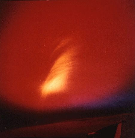
The Starfish Prime high-altitude nuclear test of 9 July 1962, photographed from an aircraft (U.S. Air Force). The flat-Earth claims described in this sheet say such tests tried to break the dome. U.S. Air Force 1352nd Photographic Group, Lookout Mountain Station · public domain · Wikimedia Commons
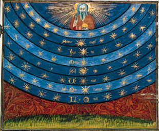
Illustration of the celestial spheres from Nicole Oresme's Le livre du Ciel et du Monde (1377), a picture of the nested heavens that astronomers later gave up. Original art, Nicole Oresme (artist unknown); Scan, Bibliothèque National de France; Current file, SteveMcCluskey · public domain · Wikimedia Commons
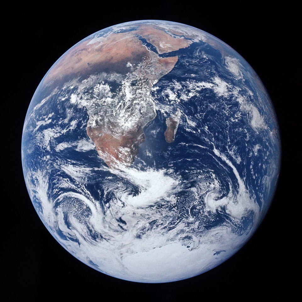
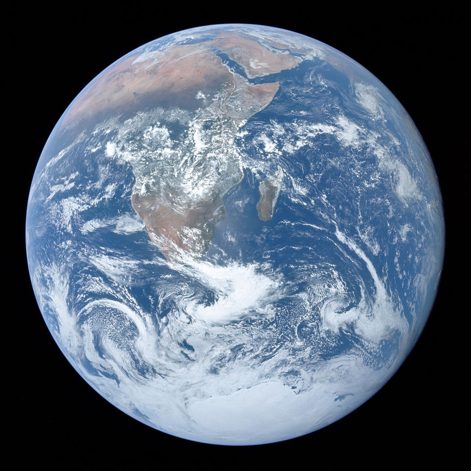
The Blue Marble: full view of the Earth photographed by the Apollo 17 crew on 7 December 1972, on the way to the Moon, from about 29,400 km. NASA/Apollo 17 crew; taken by either Harrison Schmitt or Ron Evans · public domain · Wikimedia Commons
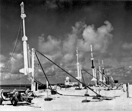
Rockets carrying instruments for measurements during the Operation Fishbowl high-altitude nuclear tests, on Johnston Island before liftoff, mid-1962. United States Government Defense Nuclear Agency. · public domain · Wikimedia Commons
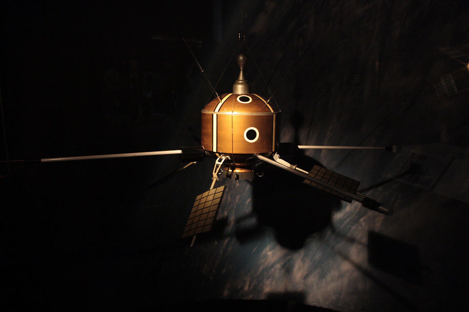
Scale model of Ariel 1, the United Kingdom's first satellite, one of the satellites disabled by the radiation belts created by Starfish Prime (London Science Museum). Stephencdickson · CC BY-SA · Wikimedia Commons
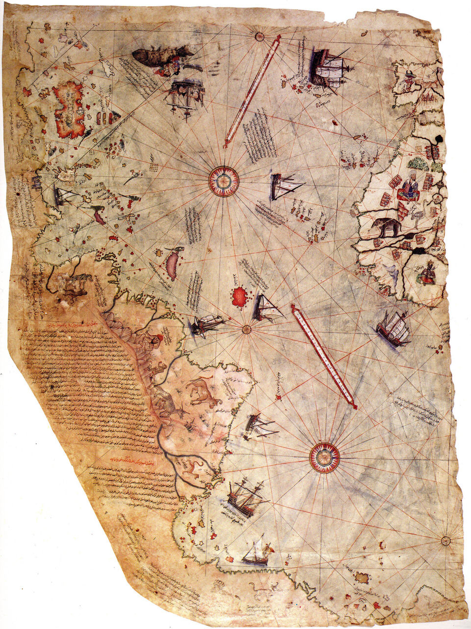
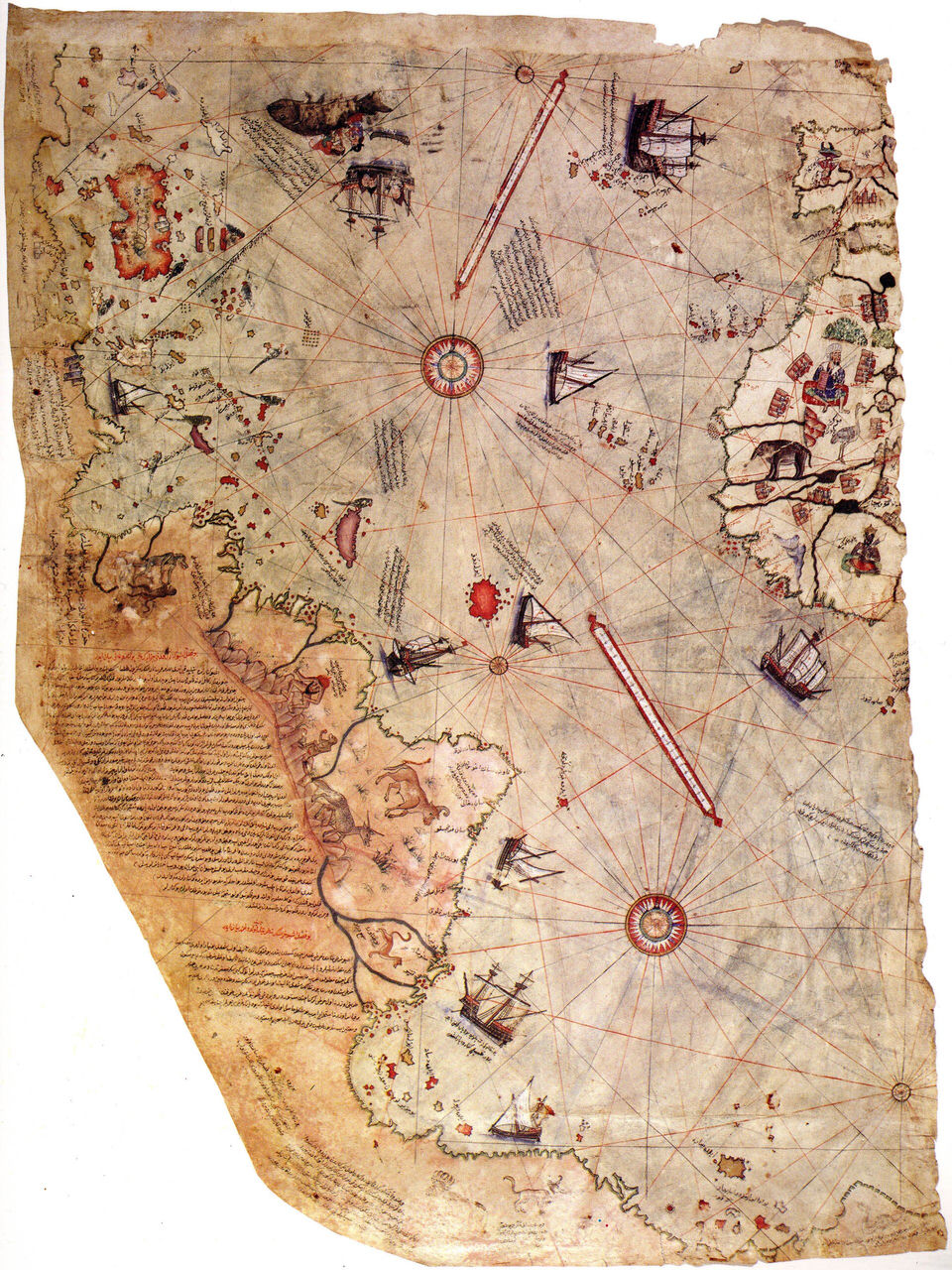
Surviving fragment of the world map drawn by the Ottoman admiral Piri Reis in 1513, held at the Topkapi Palace Museum in Istanbul. Piri Reis · public domain · Wikimedia Commons
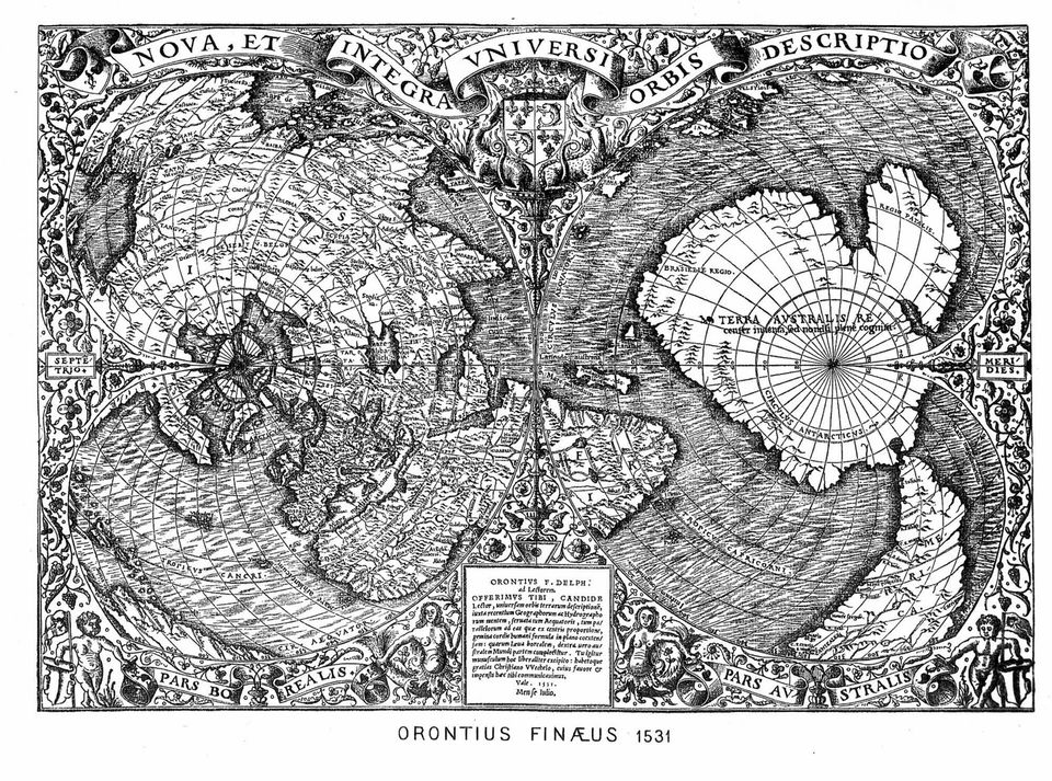
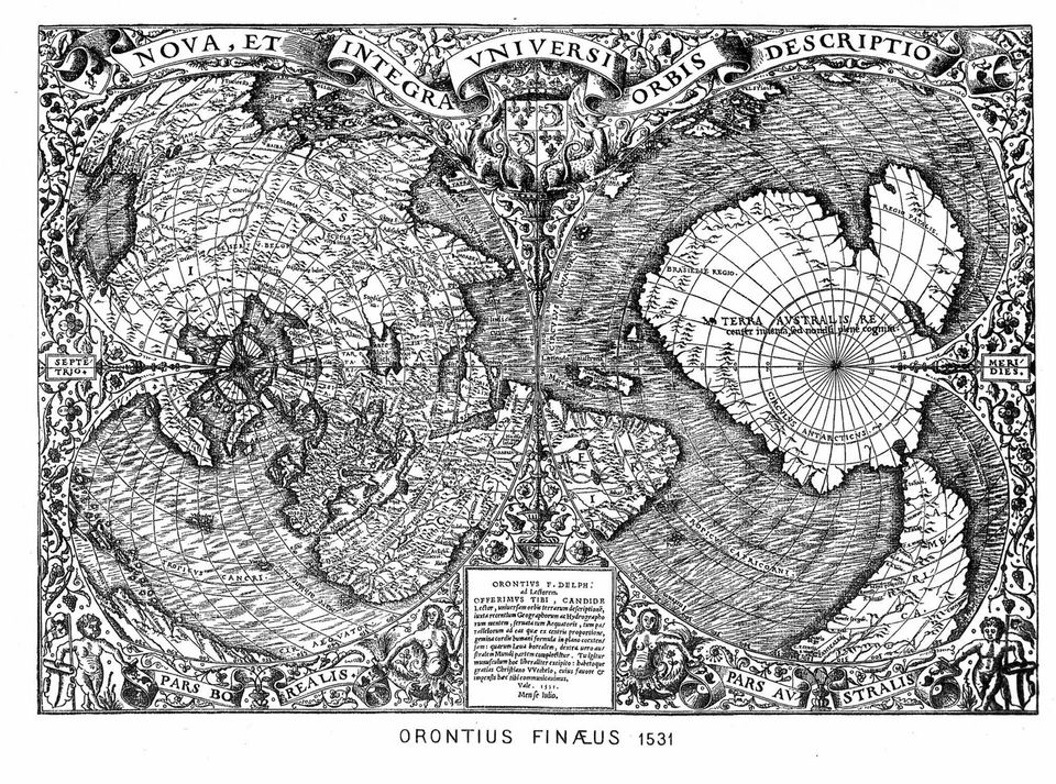
Oronce Finé's 1531 world map in double heart-shaped (cordiform) projection, with the southern land Terra Australis at the bottom. Oronce Finé · public domain · Wikimedia Commons
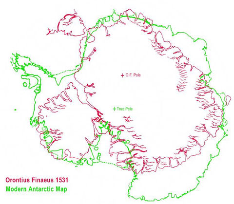
Illustration of the thesis: the southern land of the 1531 map next to a modern map of Antarctica, scaled and rotated by an amateur to make the shapes match. It is a comparison made by supporters, not proof. Portolanero · CC BY · Wikimedia Commons
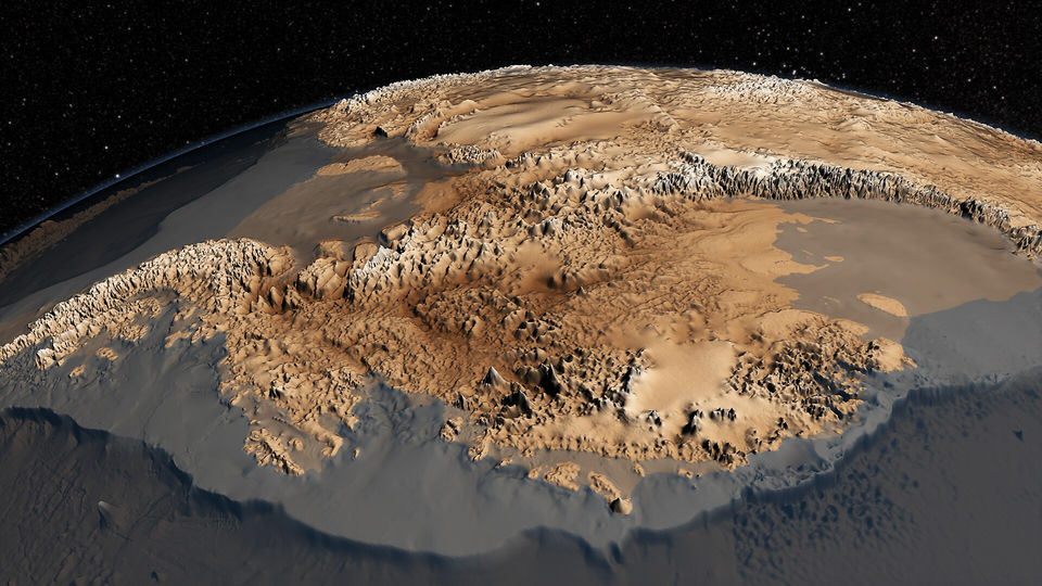
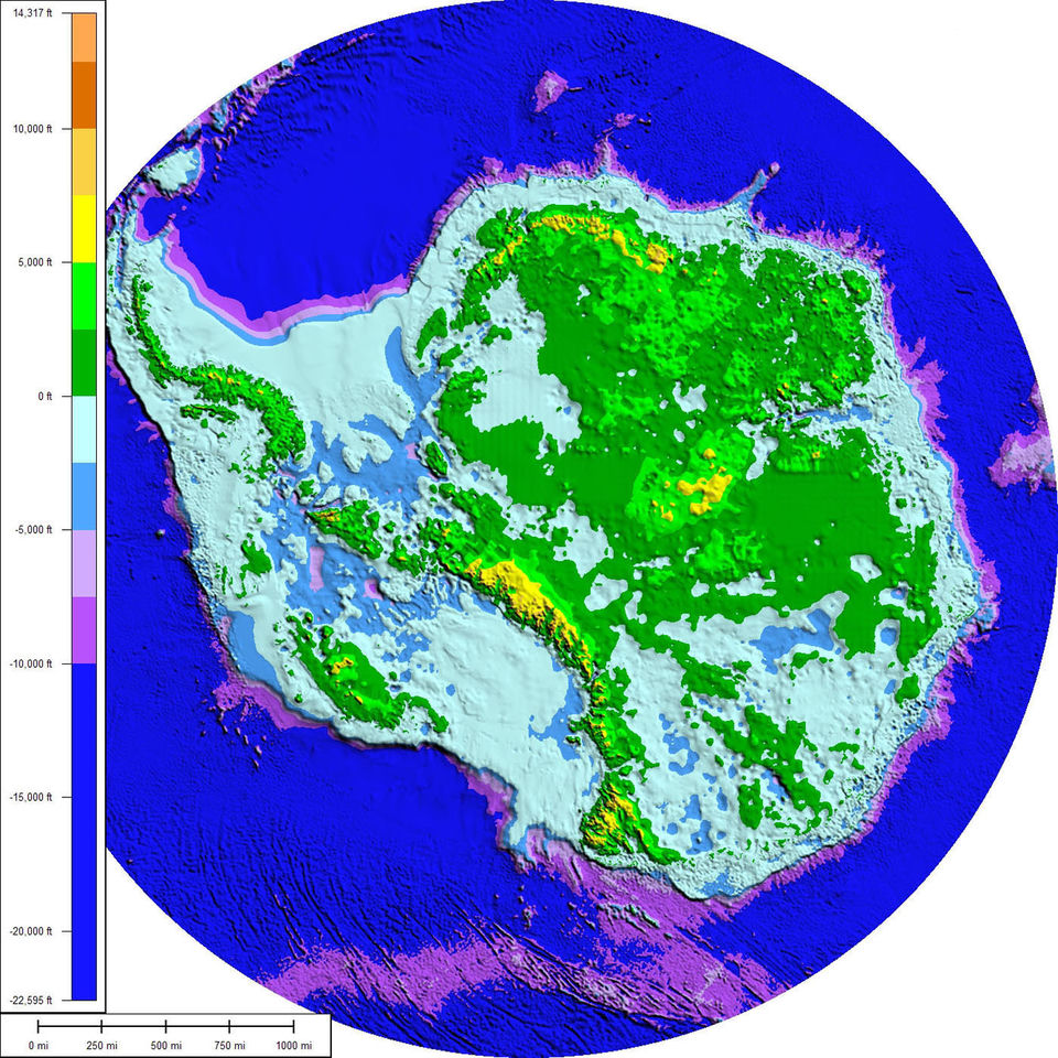
The topography of the bedrock under the Antarctic ice sheet, from the Bedmap2 data (NASA Scientific Visualization Studio, 2013); relief is exaggerated. NASA Goddard's Scientific Visualization Studio · public domain · Wikimedia Commons
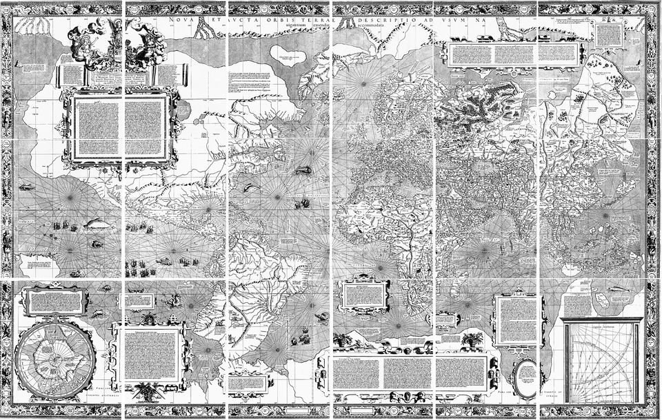
Gerardus Mercator's 1569 world map: like earlier maps, it draws a vast hypothetical southern continent that no one had visited. Gerardus Mercator · public domain · Wikimedia Commons
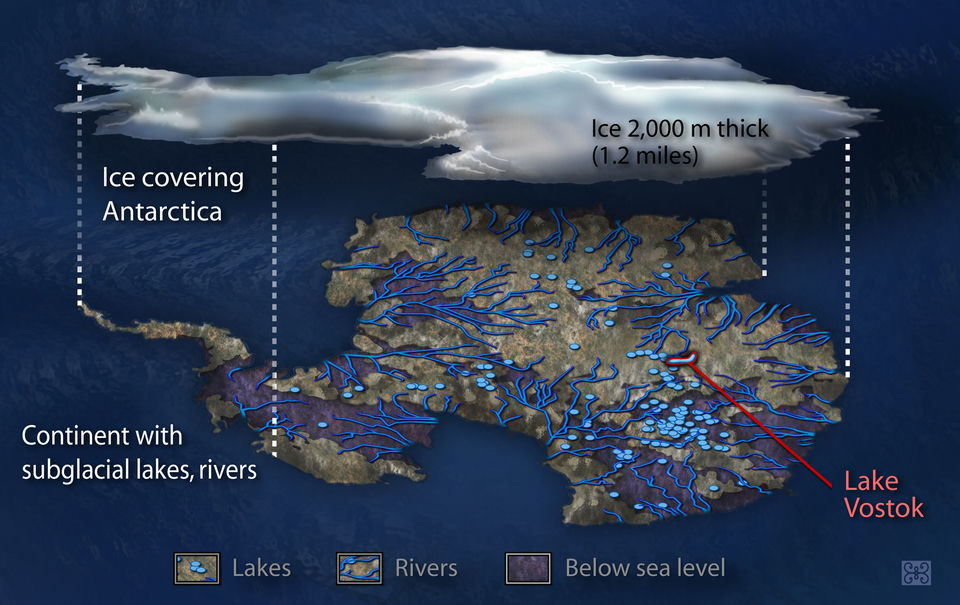
An artist's representation of the aquatic system of lakes and rivers that scientists believe lies beneath the Antarctic ice sheet (Zina Deretsky, US National Science Foundation, 2007). Zina Deretsky / NSF · public domain · Wikimedia Commons
The surviving part of the world map drawn by the Ottoman admiral Piri Reis in 1513, which Hapgood read as showing an ice-free Antarctic coast (a reading historians reject). Piri Reis · public domain · Wikimedia Commons
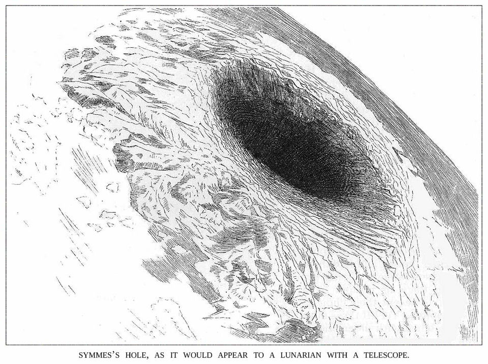
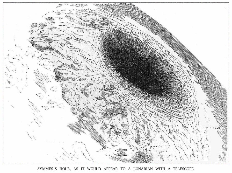
"Symmes's hole, as it would appear to a lunarian with a telescope": an 1882 magazine illustration of the hollow Earth idea, not an observation. Unknown authorUnknown author · public domain · Wikimedia Commons
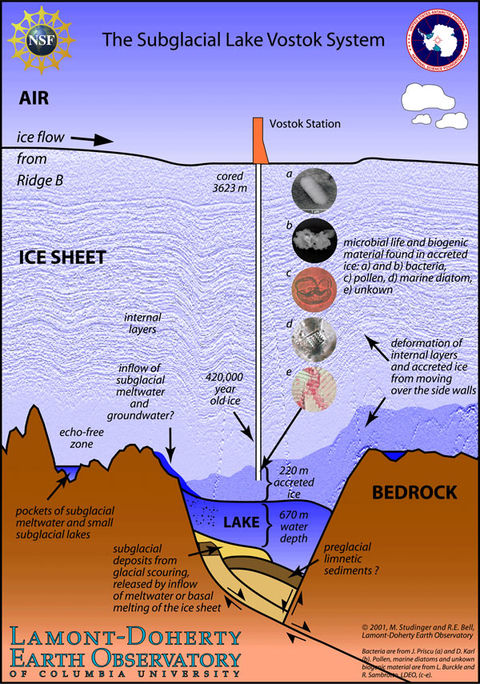
Diagram of the Lake Vostok system: the ice core from Vostok Station, the layer of ice accreted from the lake, and the microbes and pollen found in it (Lamont-Doherty Earth Observatory, 2007). Columbia University, Lamont-Doherty Earth Observatory · public domain · Wikimedia Commons
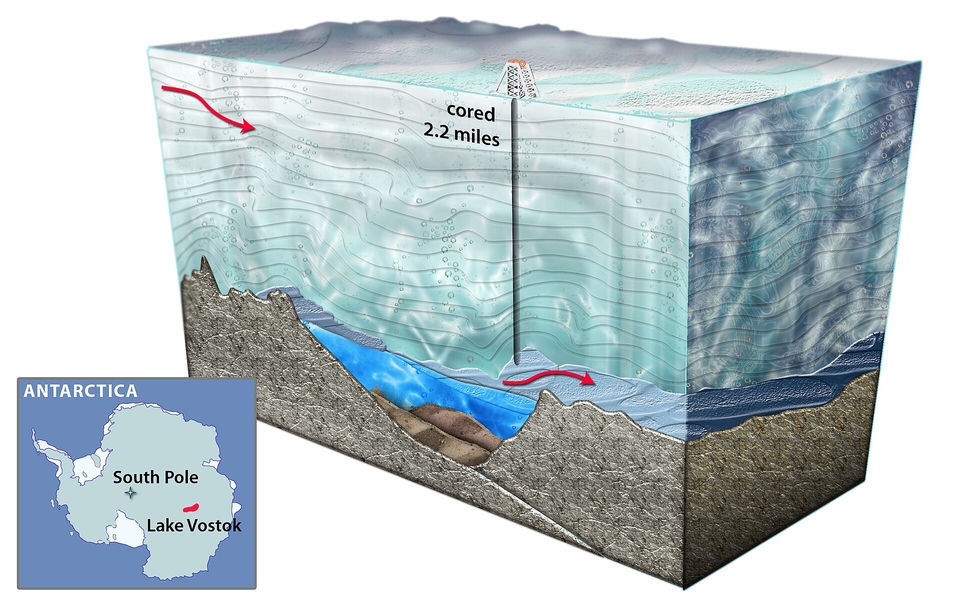
An artist's cross-section of Lake Vostok, the largest known subglacial lake in Antarctica, beneath 2.2 miles of ice (Nicolle Rager-Fuller, US National Science Foundation). Nicolle Rager-Fuller / NSF · public domain · Wikimedia Commons
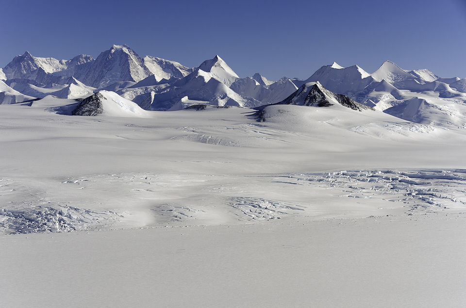
Aerial view of the Sentinel Range in the Ellsworth Mountains, the range where a pyramid-shaped peak was claimed to be man-made (NASA Operation IceBridge, 2012). NASA/Michael Studinger · public domain · Wikimedia Commons
Oronce Finé's 1531 world map, in double cordiform projection; its large southern land, Terra Australis, is the second map Hapgood claimed was drawn from ice-free Antarctic sources. Oronce Finé · public domain · Wikimedia Commons
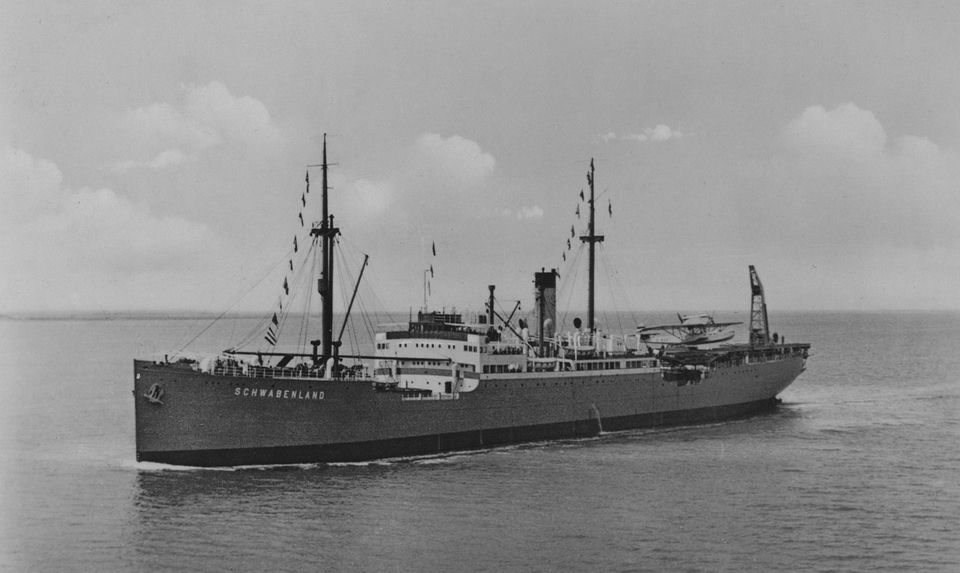
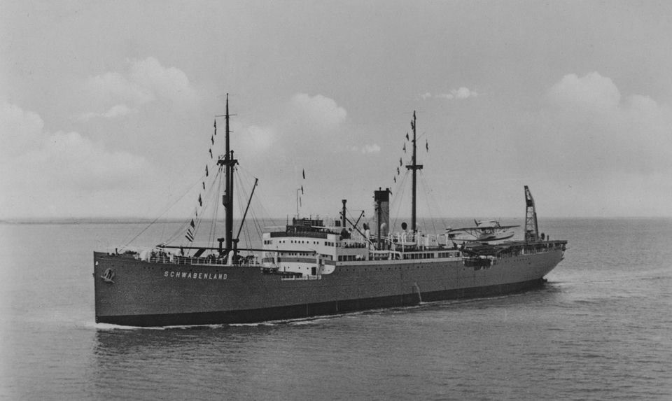
The catapult ship MS Schwabenland, which carried the German expedition to Antarctica in 1938-39 (photo published by Lufthansa, 1938). Unknown authorUnknown author · public domain · Wikimedia Commons
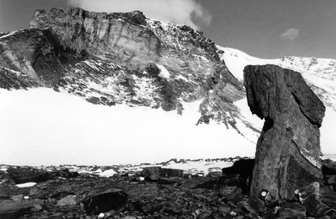
The Dallmann Mountains in Queen Maud Land, part of the area surveyed by the 1938-39 expedition (photo taken in 1995). Diorit · CC BY-SA · Wikimedia Commons
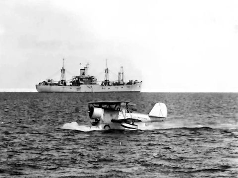
A U.S. Coast Guard Grumman J2F-6 Duck seaplane taxiing during Operation Highjump, c. 1947; a US Navy support ship is behind it. U.S. Navy · public domain · Wikimedia Commons
Section of a 1941 German military atlas showing "Neu-Schwabenland" in red as a German territory (the red area is printed mirrored, according to the file page). OKH/Abt. Inland · public domain · Wikimedia Commons
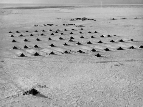
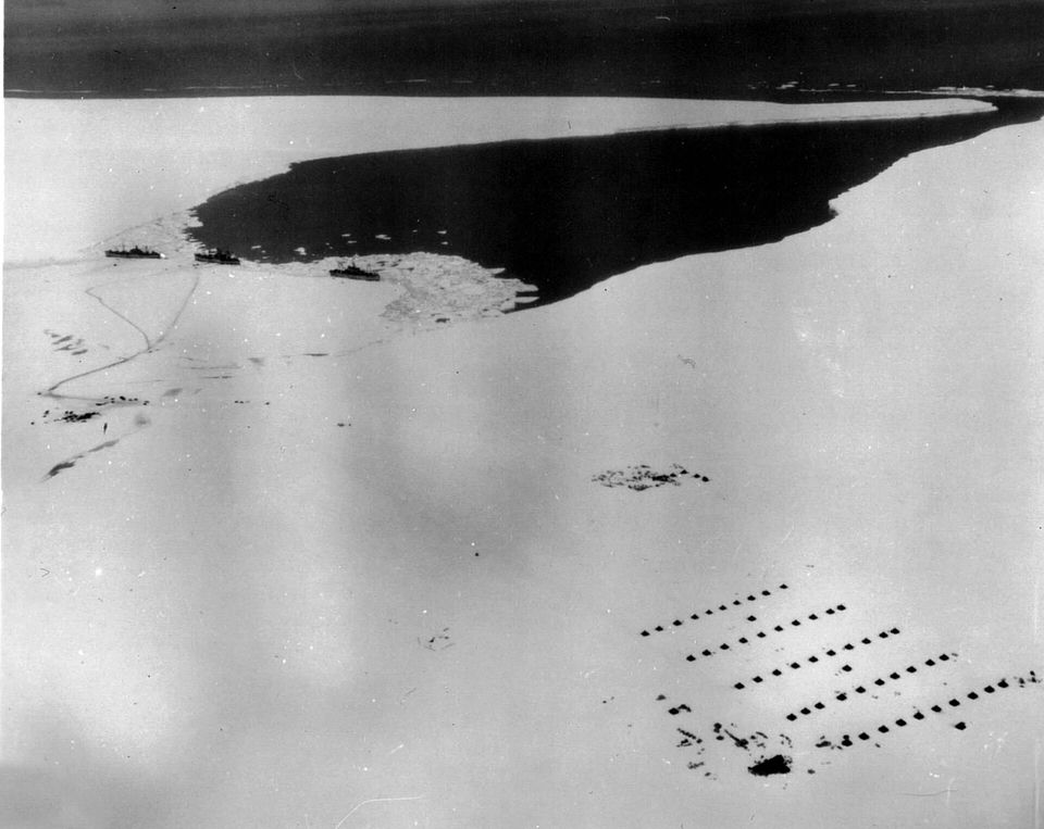
Aerial view of the Little America IV camp built on the Ross Ice Shelf during Operation Highjump, c. 1947 (U.S. Navy). U.S. Navy · public domain · Wikimedia Commons
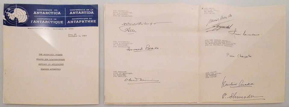
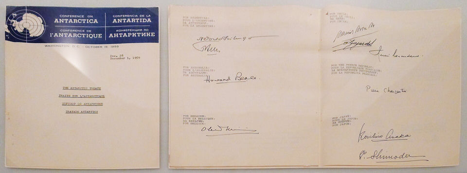
Cover and signature pages of an original copy of the Antarctic Treaty, signed in Washington in December 1959, held in the Australian archives (photo of 2011). Mbreen · CC BY-SA · Wikimedia Commons
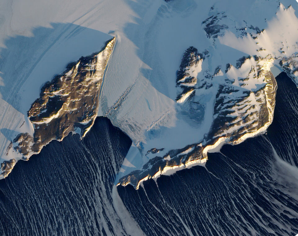
Satellite view of Inexpressible Island and the Northern Foothills in Antarctica, 16 September 2009 (NASA Earth Observatory). Real terrain, shown for context: it illustrates no part of the thesis. NASA Earth Observatory image created by Jesse Allen and Robert Simmon, using EO-1 ALI data provided courtesy of the NASA EO-1 team and the United States Geological Survey. Caption by Michon Scott and Rebecca Lindsey, based on image interpretation by Ted Scambos, National Snow and Ice Data Center. · public domain · Wikimedia Commons
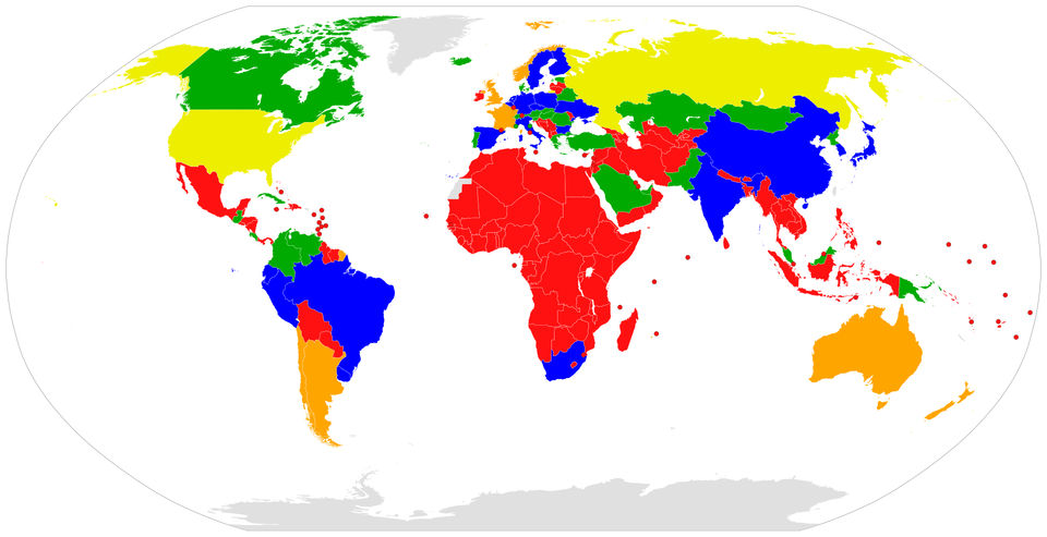
World map of the parties to the Antarctic Treaty System, distinguishing consultative parties from the others (Canuckguy and Danlaycock, 2014). User:Canuckguy, User:Danlaycock · public domain · Wikimedia Commons
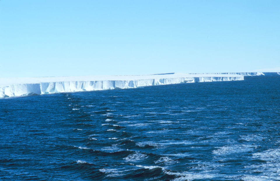
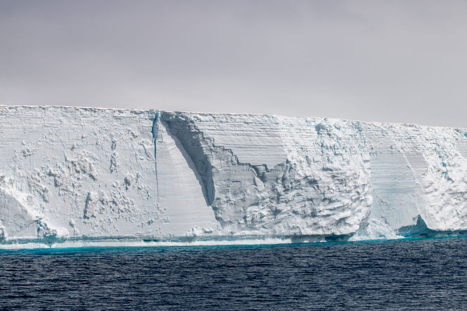
The front of the Ross Ice Shelf seen from the research vessel Nathaniel B. Palmer in the Ross Sea, February 1997 (NOAA). Discovered by James Clark Ross in 1841, this ice cliff is the real "wall" behind the theory: the edge of a floating ice shelf along one part of the Antarctic coast. Michael Van Woert, NOAA NESDIS, ORA · public domain · Wikimedia Commons
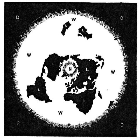
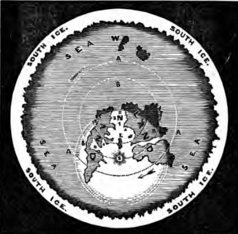
Figure from Samuel Rowbotham's Zetetic Astronomy (London, 1865, p. 78): the Earth drawn as a disc centred on the North Pole and ringed by "South ice". An illustration of the theory, not a map of the world. Samuel Rowbotham · public domain · Wikimedia Commons
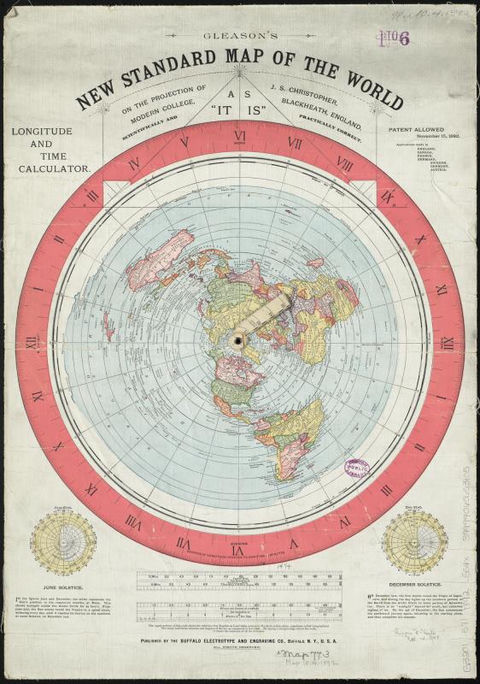
Gleason's New Standard Map of the World, published in Buffalo in 1892 (Norman B. Leventhal Map Center, Boston Public Library). An azimuthal equidistant projection centred on the North Pole and subtitled "As it is", often cited by flat-Earthers. Norman B. Leventhal Map Center at the BPL · public domain · Wikimedia Commons
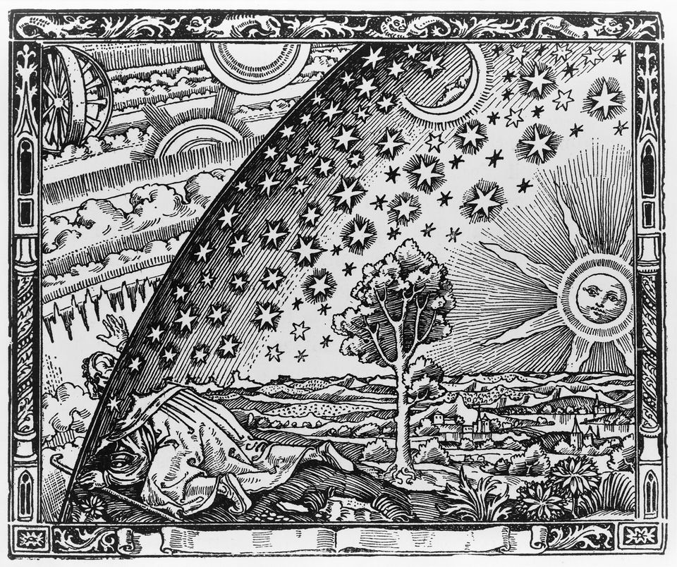
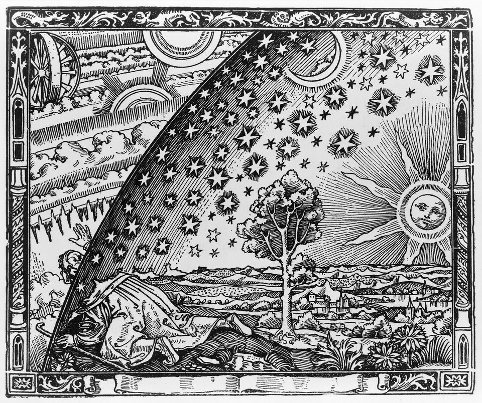
Wood engraving by an unknown artist, first published in Camille Flammarion's L'Atmosphère: météorologie populaire (Paris, 1888). It shows the sky as a solid hemisphere meeting the Earth at its edge, the kind of dome that some versions of the theory call the "firmament"; it is not a flat-Earth document. AnonymousUnknown author · public domain · Wikimedia Commons
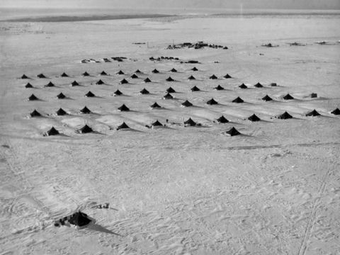
Aerial view of the tents of Little America IV, the base set up on the Ross Ice Shelf during Operation Highjump, around 1947 (US Navy, National Museum of Naval Aviation). U.S. Navy · public domain · Wikimedia Commons
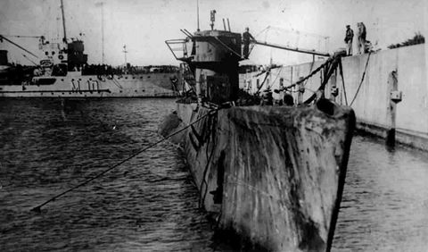
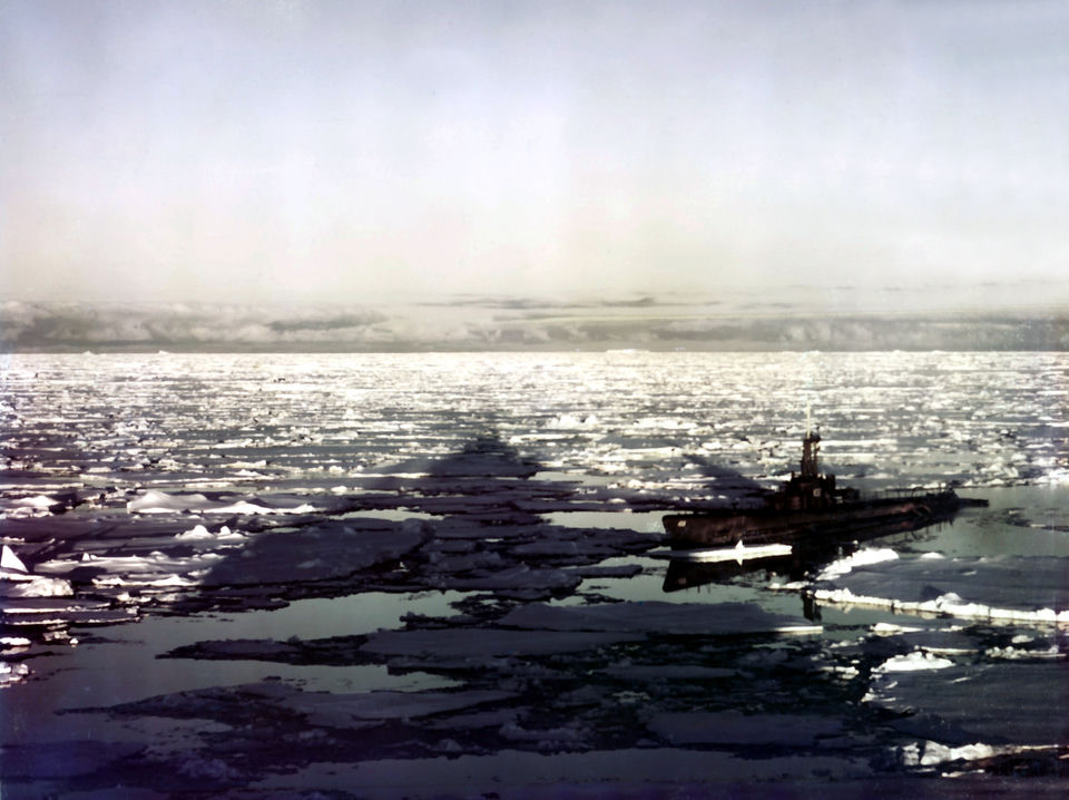
The US Navy submarine USS Sennet in Antarctic pack ice during Operation Highjump, 1947 (US Navy, National Museum of Naval Aviation). U.S. Navy · public domain · Wikimedia Commons
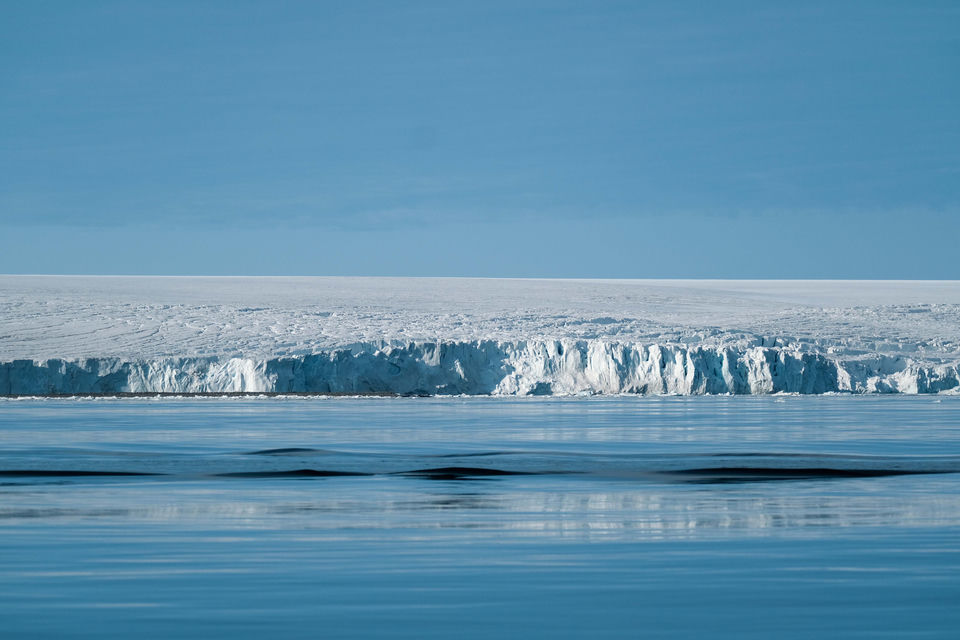
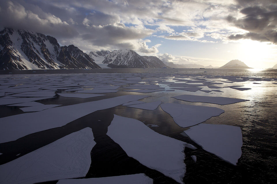
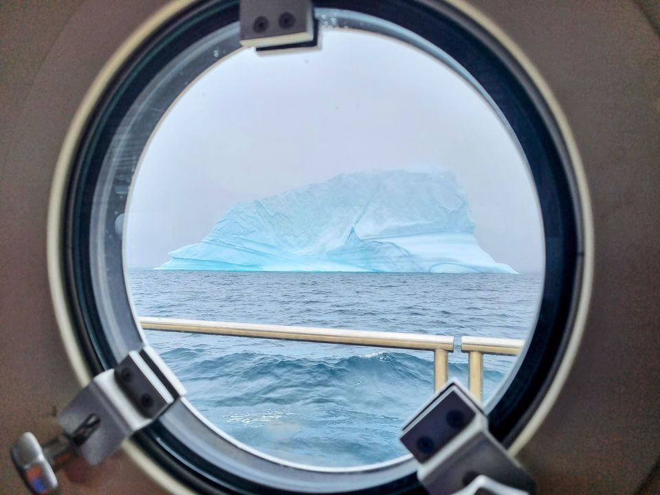
Ambiance image: an ice cliff above a calm sea. It illustrates the idea of the "wall"; it does not show any of the lands described by the theory, for which there is no evidence. Francesco Ungaro · Pexels license · Pexels
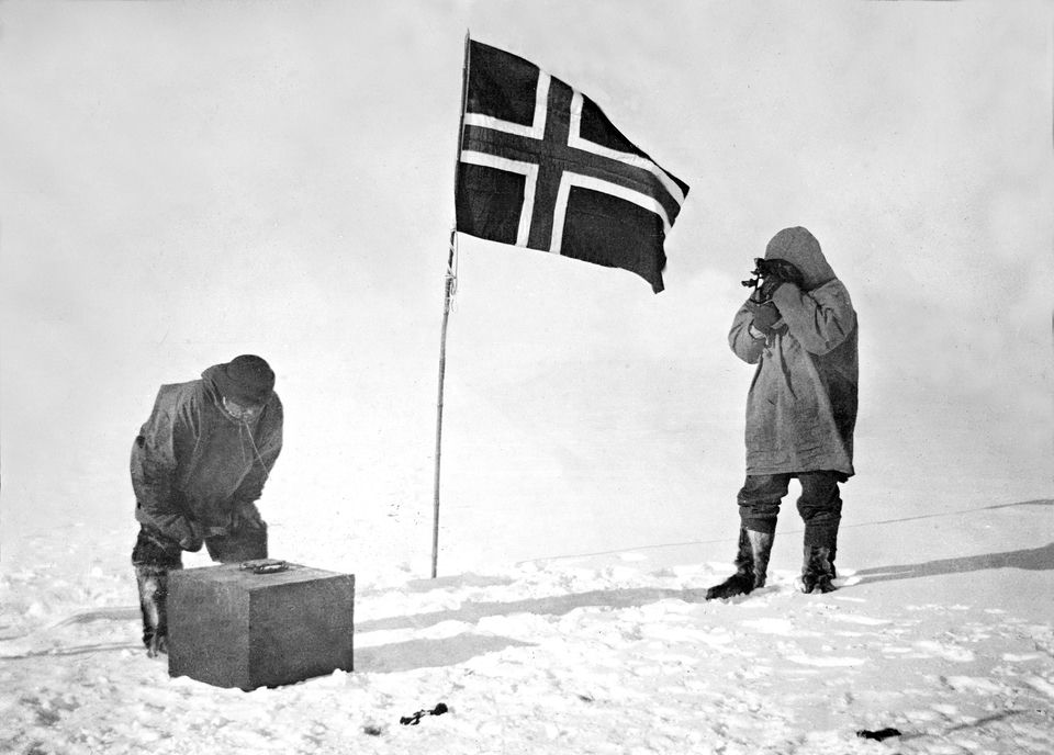
At the South Pole, 14–17 December 1911: Roald Amundsen takes the altitude of the Sun while Helmer Hanssen checks the artificial horizon (National Library of Norway). Unknown authorUnknown author · public domain · Wikimedia Commons
One of the original copies of the Antarctic Treaty, signed in Washington on 1 December 1959 by twelve nations; a document from the Australian archives. Mbreen · CC BY-SA · Wikimedia Commons
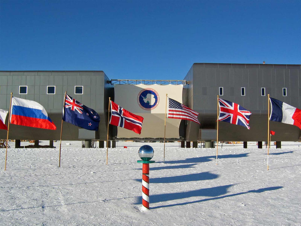
The ceremonial South Pole in front of the elevated Amundsen–Scott station, 2007–2008 summer season, ringed by the flags of the twelve original signatories of the Antarctic Treaty (U.S. Antarctic Program, National Science Foundation). Bill Spindler, U.S. Antarctic Program, National Science Foundation · public domain · Wikimedia Commons
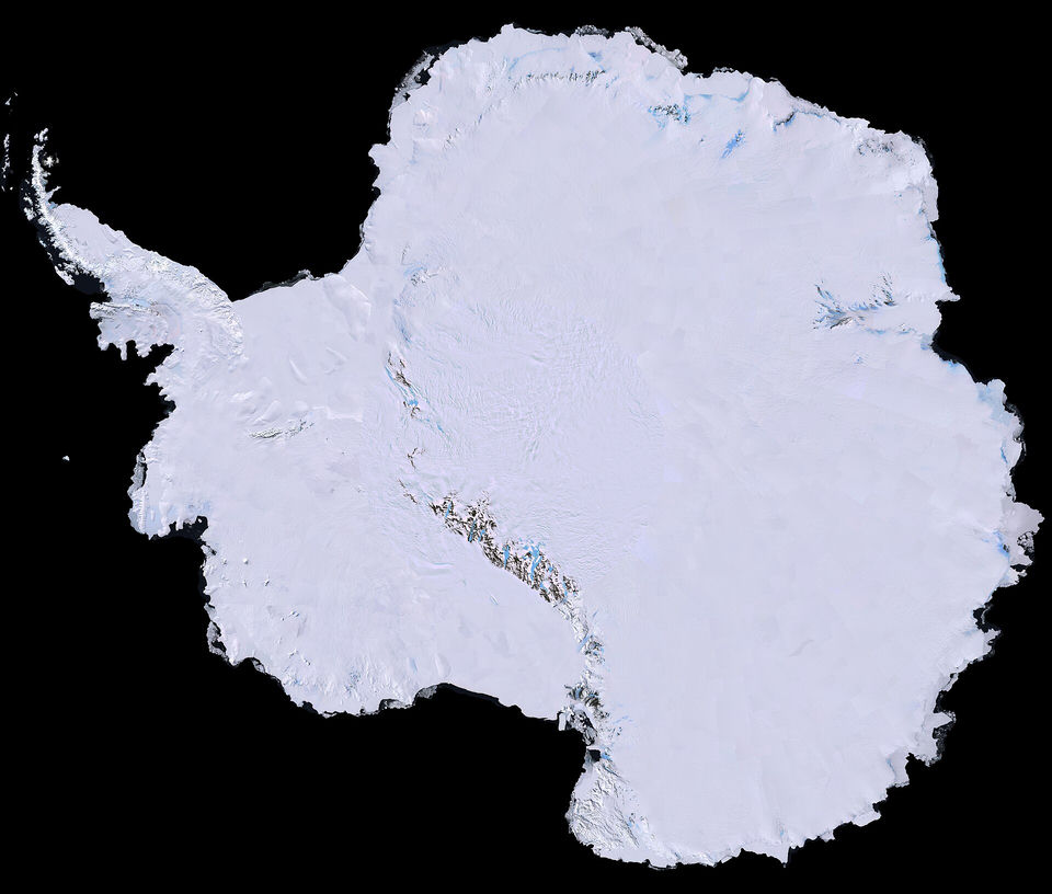
The Landsat Image Mosaic of Antarctica (LIMA), assembled from Landsat-7 images (USGS): the whole continent seen from space, not a ring around the world. USGS · public domain · Wikimedia Commons
The Sun low over Antarctic sea ice in December 2008. The photographer noted that this was as close as the Sun came to setting that day, in round-the-clock summer daylight. Jason Auch · CC BY · Wikimedia Commons
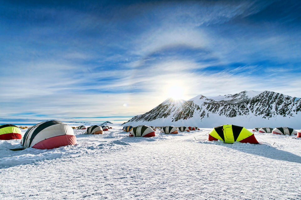
Union Glacier Camp in West Antarctica, November 2013. In December 2024 the participants of "The Final Experiment" watched the midnight sun from this camp. Christopher Michel · CC BY · Wikimedia Commons
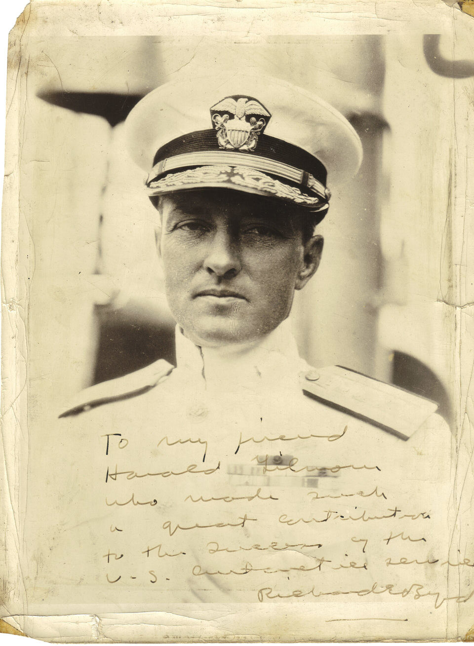
Rear Admiral Richard E. Byrd, official US Navy portrait dedicated to Harold Gilmour of the US Antarctic Service. Quotes and stories attributed to him circulate without a primary source. public domain · Wikimedia Commons
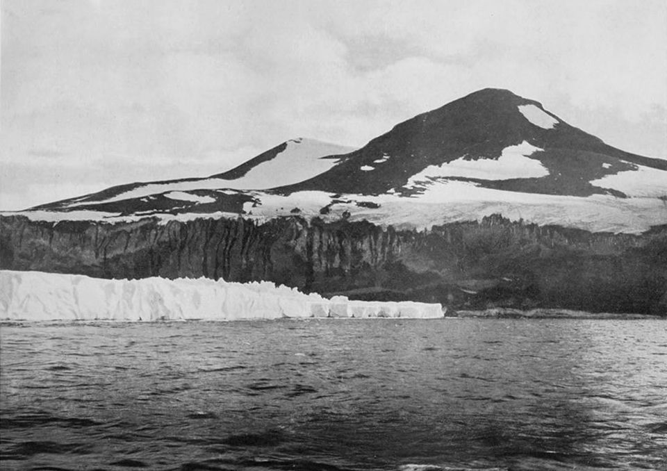
"Cape Crozier: the End of the Great Ice Barrier", photograph by Herbert Ponting on Scott's Terra Nova expedition, 1911, published in Scott's Last Expedition (1913). The ice shelf ends here against the rock cliffs of the cape. Herbert Ponting · public domain · Wikimedia Commons
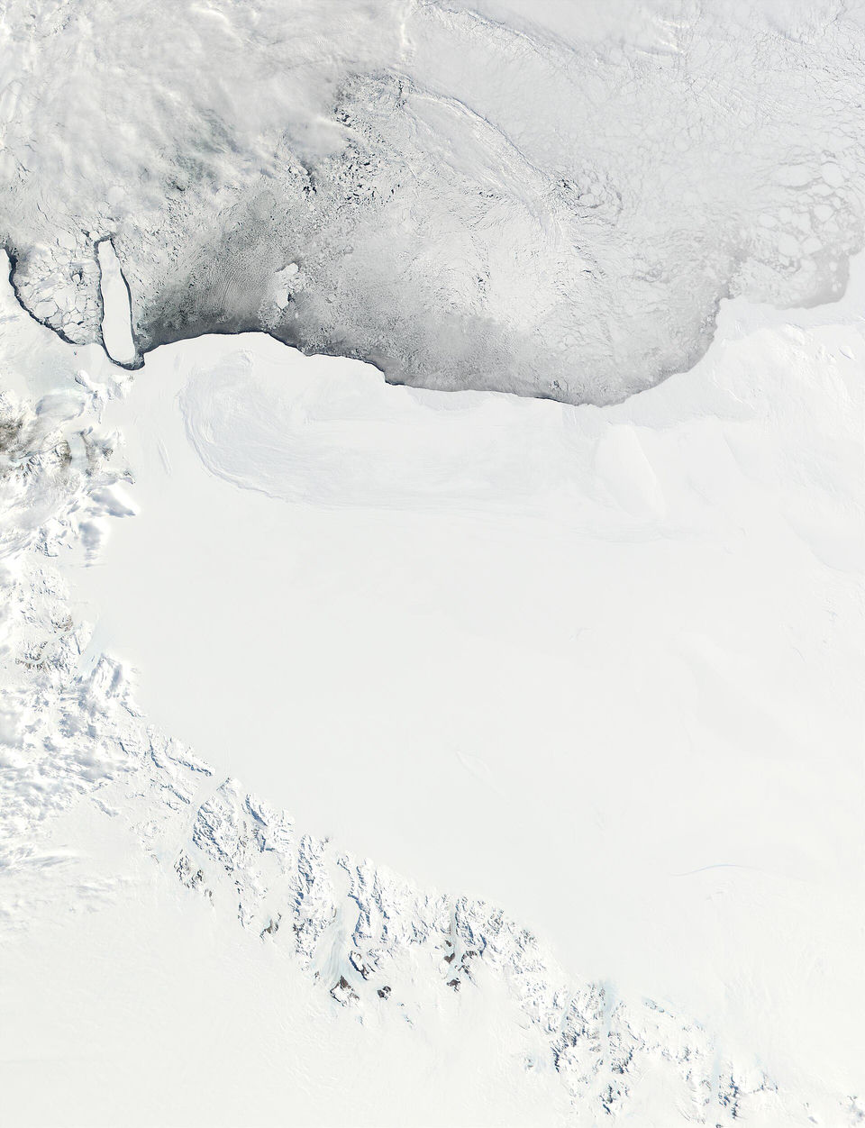
The Ross Ice Shelf seen by NASA's MODIS satellite instrument: the shelf front meets the sea ice at the top, and the Queen Alexandra Range lies at the bottom left. Jacques Descloitres, MODIS Land Rapid Response Team, NASA/GSFC · public domain · Wikimedia Commons
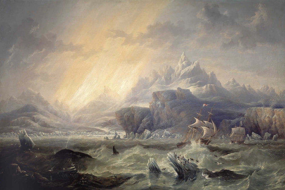
HMS Erebus and Terror in the Antarctic, oil painting by J. W. Carmichael, 1847 (National Maritime Museum, Greenwich): the two ships of James Clark Ross's expedition, which discovered the Great Ice Barrier in January 1841. James Wilson Carmichael · public domain · Wikimedia Commons
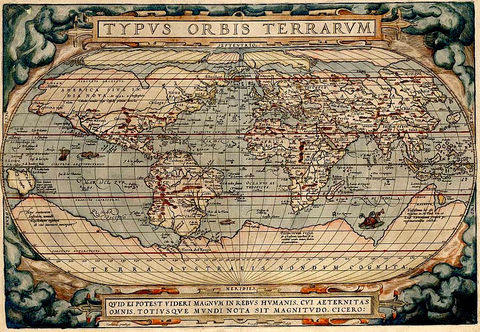
World map by Abraham Ortelius, about 1570, showing the hypothetical southern continent Terra Australis around the pole. Original uploader was Fuelbottle at en.wikipedia · public domain · Wikimedia Commons
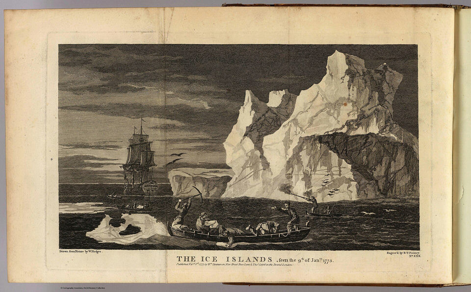
"The Ice Islands, seen the 9th of January 1773", drawn from nature by William Hodges during Cook's second voyage and engraved by B. T. Pouncy. Cook, James, 1728-1779 Hodges, William, 1744-1797 Pouncy, B.T. · public domain · Wikimedia Commons
Subglacial topography and bathymetry of Antarctica built from BEDMAP data, with the ice removed (Paul V. Heinrich, 2008). Paul V. heinrich · CC BY · Wikimedia Commons
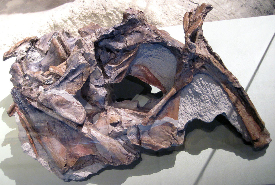
Skull of the holotype of Cryolophosaurus ellioti, an Early Jurassic dinosaur from Antarctica, at the Field Museum in Chicago (2010). James St. John · CC BY · Wikimedia Commons
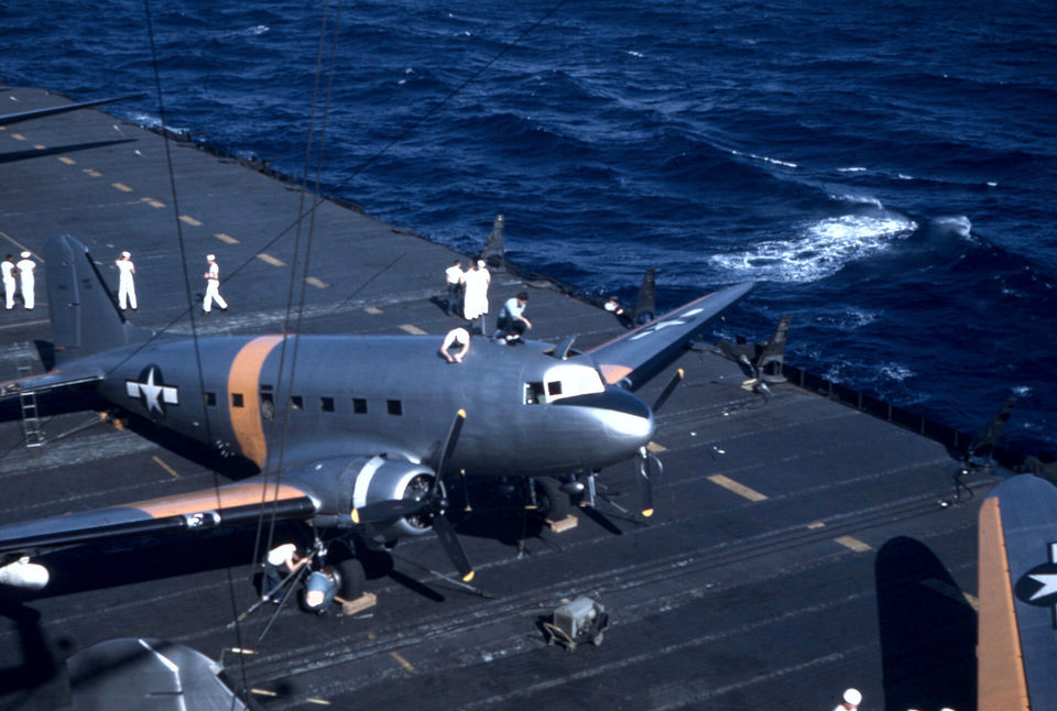
The aircraft carrier USS Philippine Sea carrying Douglas R4D transport aircraft to Antarctica during Operation Highjump (U.S. Navy photo, 8 January 1947). U.S. Navy photo 80-G-K-7623 · public domain · Wikimedia Commons
"Symmes's hole, as it would appear to a lunarian with a telescope": an 1882 magazine illustration of the hollow Earth theory, not an observation. Unknown authorUnknown author · public domain · Wikimedia Commons
The catapult ship MS Schwabenland, which carried the German expedition to Antarctica in 1938-1939 (photo published by Lufthansa, 1938). Unknown authorUnknown author · public domain · Wikimedia Commons
A snow-covered Martin PBM-5 Mariner flying boat beside a seaplane tender during Operation Highjump, circa 1947. U.S. Navy · public domain · Wikimedia Commons
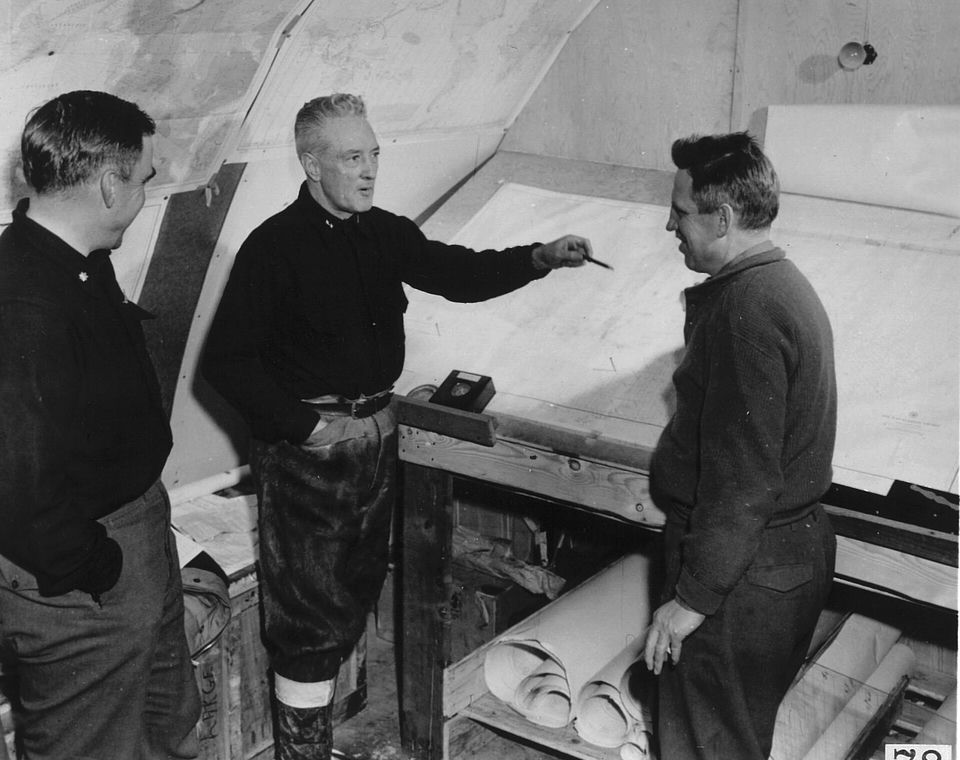
Rear Admiral Richard E. Byrd, centre, explaining a plan to fellow Operation Highjump members at the Little America IV camp, 1946-1947. Photograph by: US Navy, National Science Foundation · public domain · Wikimedia Commons
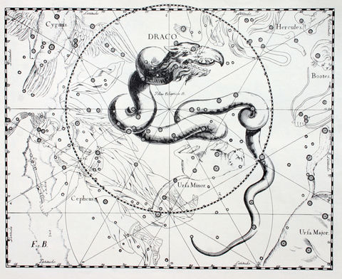
The constellation Draco in Johannes Hevelius's Uranographia (1690). Icke places the origin of his reptilian race in Draco; the engraving illustrates the name, not the theory's claims. Johannes Hevelius · public domain · Wikimedia Commons
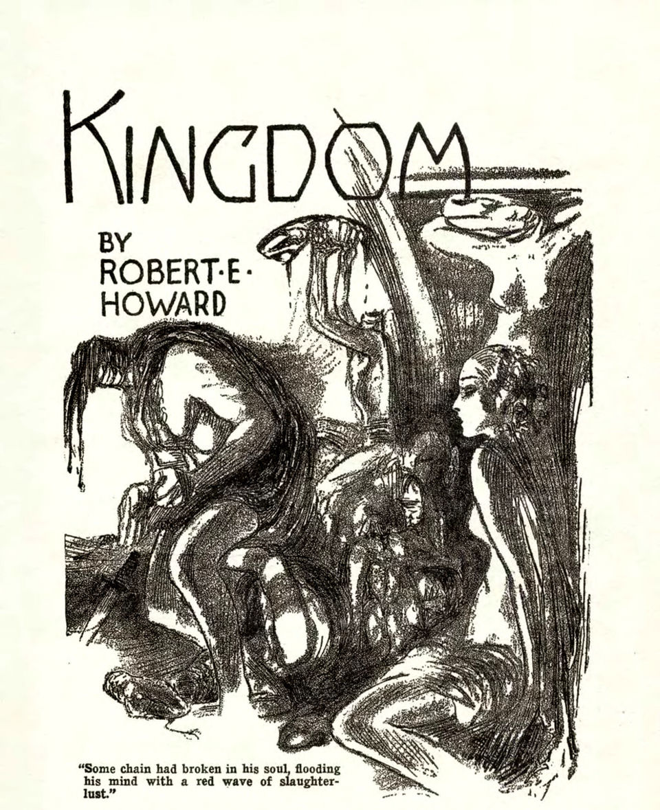
Second title illustration by Hugh Rankin for Robert E. Howard's "The Shadow Kingdom", Weird Tales, August 1929, the story whose serpent men are cited as an origin of the reptilian motif. Hugh Doak Rankin · public domain · Wikimedia Commons
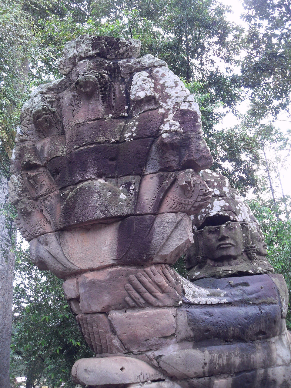
A seven-headed nāga carved in stone at the south gate of Angkor Thom, Cambodia. The Nāgas are half-human, half-serpent beings of Asian religious traditions. BrightRaven · CC BY · Wikimedia Commons