Conspiracy allegation: inclusion in the atlas ≠ established fact.
Summary
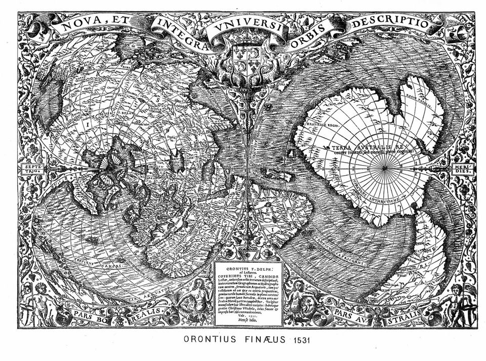
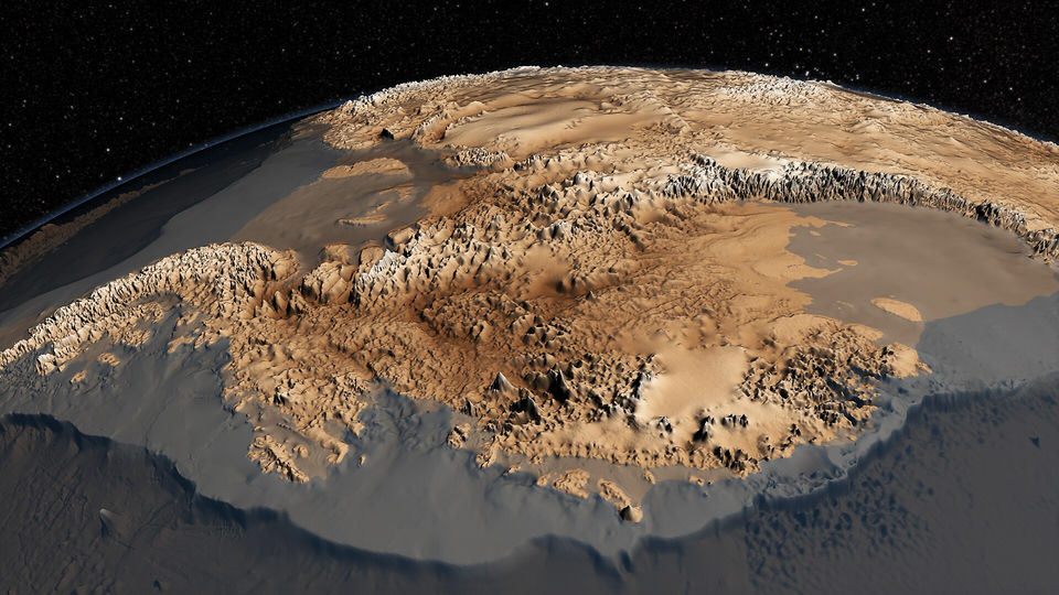
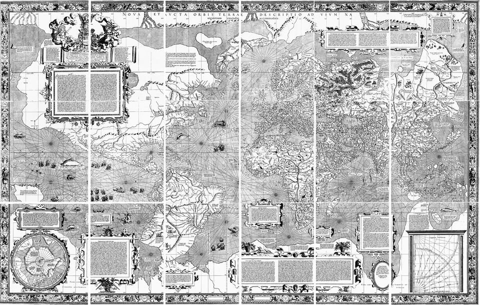
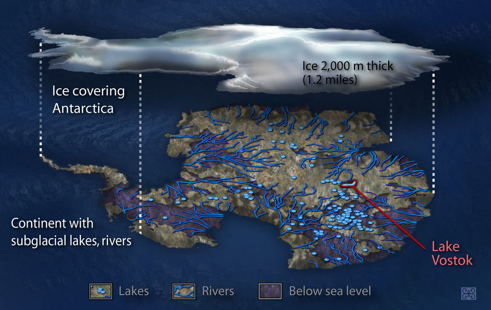
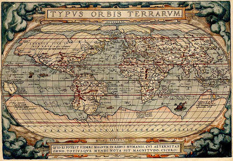
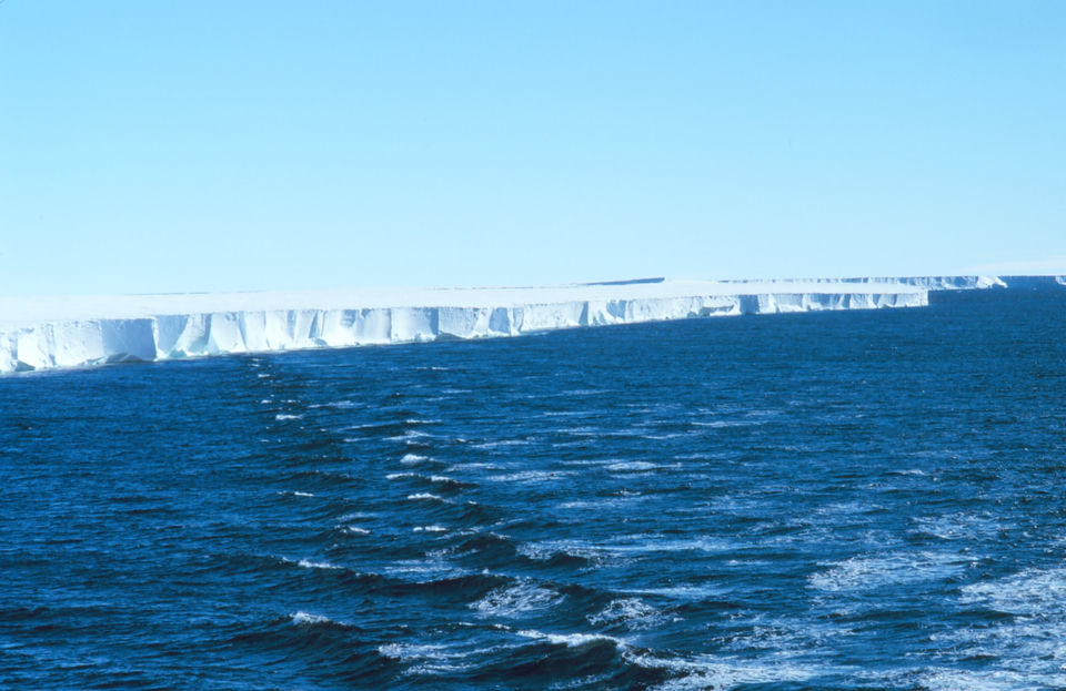
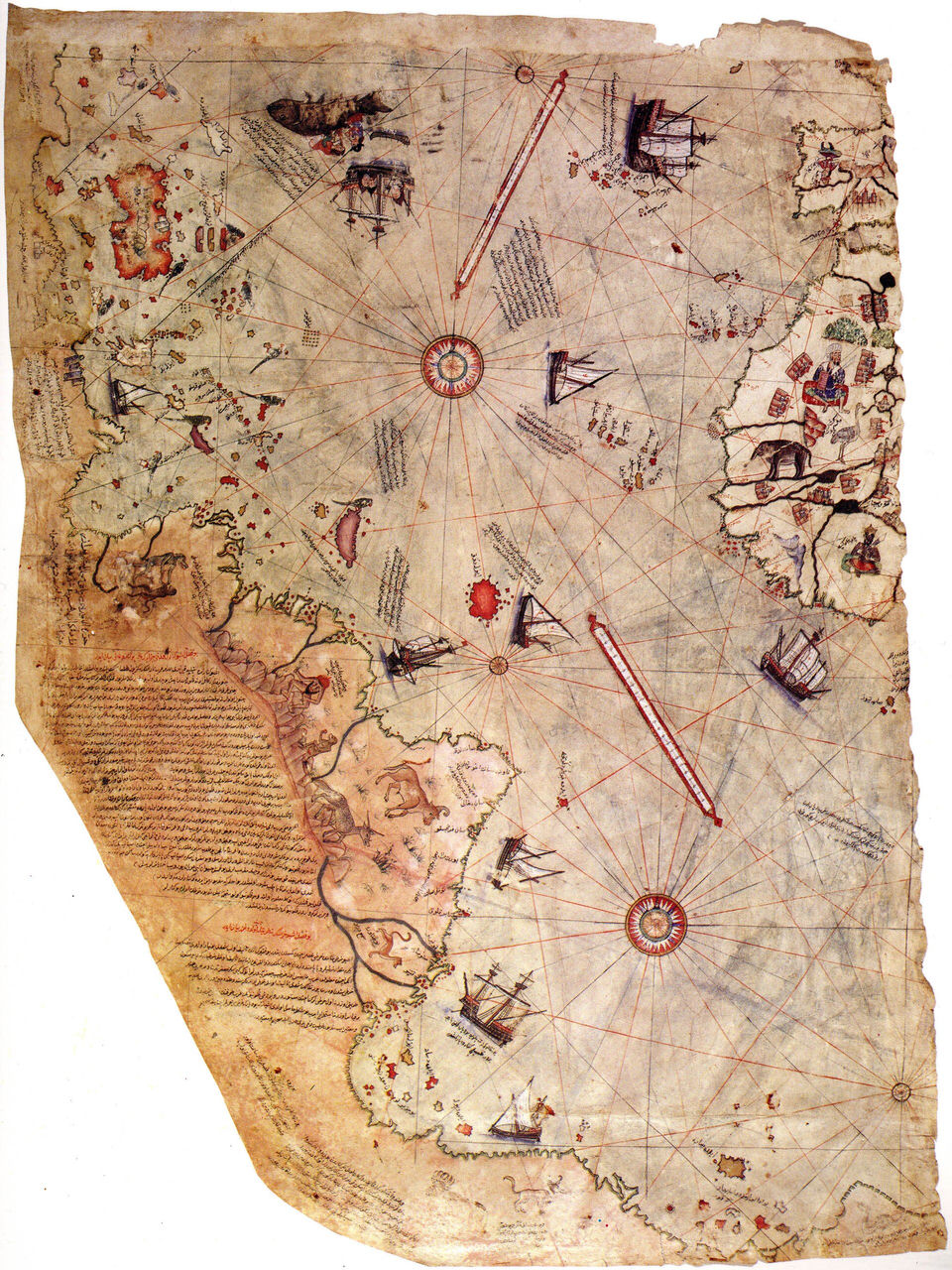
The theory claims that maps drawn centuries before Antarctica was seen show its coast without ice, which would prove that a lost civilization, or outside help, mapped the continent in the remote past. The best-known case is the world map compiled in 1513 by the Ottoman admiral Piri Reis and rediscovered in Istanbul in 1929. Its southern edge was read as Antarctica in the 1950s by the engineer Arlington Mallery, then by the historian Charles Hapgood, who in Maps of the Ancient Sea Kings (1966) added the 1531 world map of Oronce Finé and a theory of sliding Earth crust to date the mapping to a time before the ice formed. Erich von Däniken, Donald Keyhoe and Graham Hancock reused the argument for ancient astronauts, flying saucers and a lost civilization. Supporters also quote 1960 and 1961 letters from a US Air Force squadron. Specialists answer that the Piri Reis coast is a distorted South America, that Finé drew the southern land imagined since Aristotle, and that Antarctica has been under ice for some 34 million years, so no human could have seen it bare. Comparing a coast with the rock under the ice also forgets that land rises when ice leaves. What is established: both maps are authentic, the Caribbean on Piri Reis comes from a lost map by Columbus, and the continent was first sighted in 1820.